-
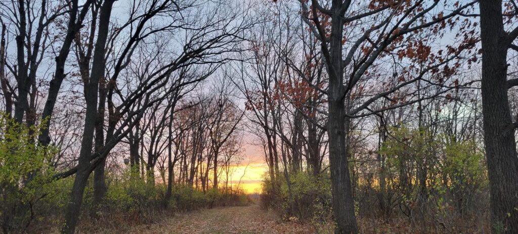
Dawn at the End of the Trail, Capital Springs State Recreation Area – Madison, WI
2025 John Wanserski for Creative Juice LLC
Capital Springs State Recreation Area
Map of Capital Springs State Recreation Area (PDF file)
Map of Lake Waubesa (PDF file)
Friends of Capital Springs State Recreation Area
Weather forecast for the Madison vicinity
Blog entries for the Capital Springs State Recreation Area
-
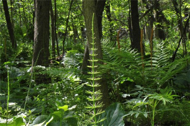
Kaleidoscope Image of Ferns on the Tamarack Circle Trail at Mauthe Lake, Kettle Moraine State Forest, Northern Unit – Campbellsport, WI

©2018 John Wanserski for Creative Juice LLC
©2018 John Wanserski for Creative Juice LLCKettle Moraine State Forest, Northern Unit
Map of Kettle Moraine State Forest, Northern Unit (PDF file)
Blog entries for Kettle Moraine State Forest, Northern Unit
Weather forecast for Campbellsport, Wisconsin vicinity
-
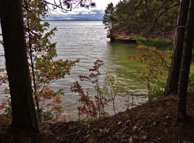
Chequamegon Bay from Houghton Falls Trail – Washburn, Wisconsin
©2012 John Wanserski for Creative Juice LLCChequamegon Bay (Wikipedia entry)
Lake Superior Big Top Chautauqua
Blog entries for Lake Superior
Weather forecast for Washburn, Wisconsin vicinity
-
Footbridge on Burkhardt Trail, Willow River State Park – Hudson, Wisconsin
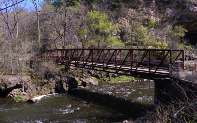
©2012 John Wanserski for Creative Juice LLCMap of Willow River State Park (PDF file)
Trail Descriptions, Willow River State Park
Weather forecast for Hudson, Wisconsin vicinity
Blog entries for Willow River State Park
-
Footbridge on Burkhardt Trail, Willow River State Park – Hudson, Wisconsin
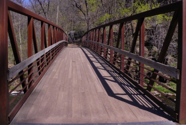
©2012 John Wanserski for Creative Juice LLCMap of Willow River State Park (PDF file)
Trail Descriptions, Willow River State Park
Weather forecast for Hudson, Wisconsin vicinity
Blog entries for Willow River State Park
-
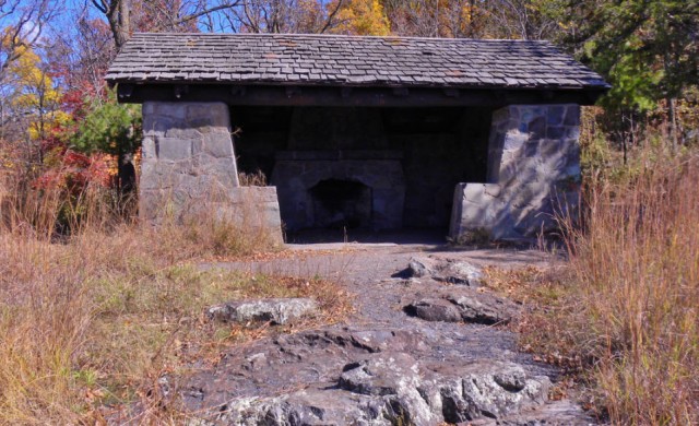
CCC Stone Shelter on Ravine Trail, Interstate Park – St. Croix Falls, Wisconsin
-
Footbridge on the Silverbrook Trail, Interstate Park – St. Croix Falls, Wisconsin
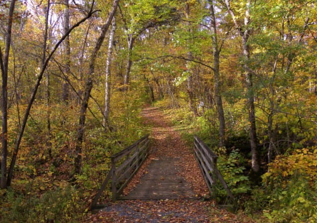
©2012 John Wanserski for Creative Juice LLCMap of Interstate Park (PDF file)
Weather forecast for the St. Croix Falls, WI
Blog entries for Interstate Park
-
Ruins of Holbert Assay Laboratory on the Silverbrook Trail, Interstate Park – St. Croix Falls, Wisconsin
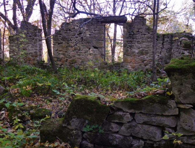
©2012 John Wanserski for Creative Juice LLC
“Holbert drilled numerous shafts including one said to be 600 feet deep, which are now, at least partially, filled with debris. Only the stone walls of the assay laboratory and office still stand.” Source: St. Croix Tales & Trails.Map of Interstate Park (PDF file)
St. Croix Tales and Trails by Rosemarie Vezina Braatz (Amazon entry)
Weather forecast for the St. Croix Falls, WI
Blog entries for Interstate Park
