-
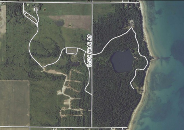
Orthoimage Map of Harrington Beach State Park – Belgium, Wisconsin
Map of Harrington Beach State Park (PDF File)
US Topo, the next generation of digital topographic maps from the USGS
Definition of orthoimage (Wikipedia entry)
USGS Store for downloading free topographic maps
Weather forecast for Belgium, Wisconsin vicinity
Blog entries for Harrington Beach State Park
-
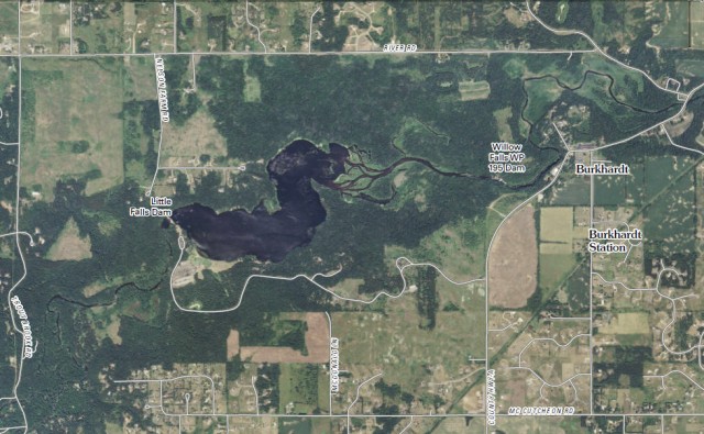
Orthoimage Map of Willow River State Park – Hudson, Wisconsin
Map of Willow River State Park (PDF file)
Map of Little Falls Lake (PDF File)
US Topo, the next generation of digital topographic maps from the USGS
Definition of orthoimage (Wikipedia entry)
USGS Store for downloading free topographic maps
Weather forecast for Hudson, Wisconsin vicinity
Blog entries for Willow River State Park
-
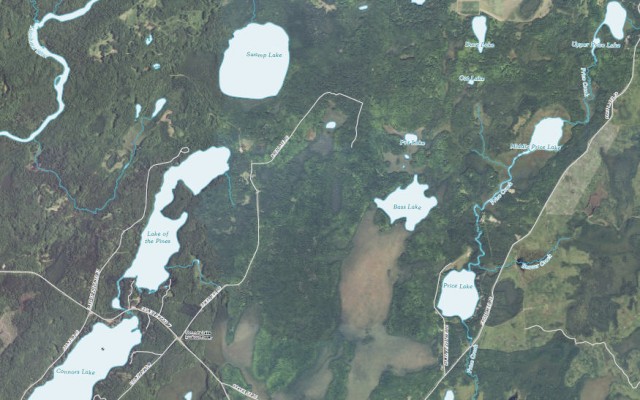
Orthoimage Map of Lake of the Pines, Flambeau River State Forest – Winter, WI
Map of Flambeau River State Forest (PDF file)
Map of Lake of the Pines (PDF File)
US Topo, the next generation of digital topographic maps from the USGS
USGS Store for downloading free topographic maps
Weather forecast for Winter, Wisconsin vicinity
Blog entries for the Flambeau River State Forest
-
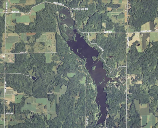
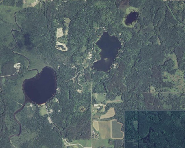
Orthoimage Map of Otter Lake – Stanley, Wisconsin
Lakes, rivers, and streams of Chippewa County
US Topo, the next generation of digital topographic maps from the USGS
USGS Store for downloading free topographic maps
Weather forecast for Stanley, Wisconsin vicinity
Blog entries for Otter Lake County Park
-
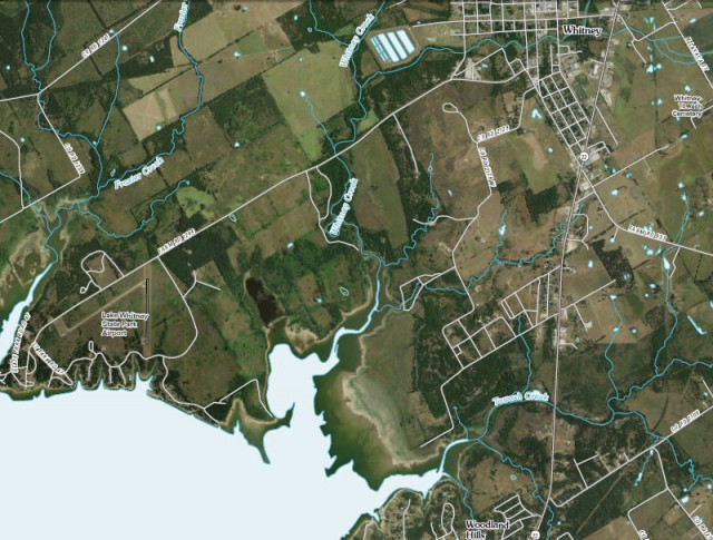
Orthoimage Map of Lake Whitney State Park & Vicinity – Whitney, Texas
Map of Lake Whitney State Park (PDF File)
Interpretive Guide to Lake Whitney State Park (PDF File)
US Topo, the next generation of digital topographic maps from the USGS
USGS Store for downloading free topographic maps
Weather forecast for Whitney, Texas vicinity
Blog entries for Lake Whitney State Park
-
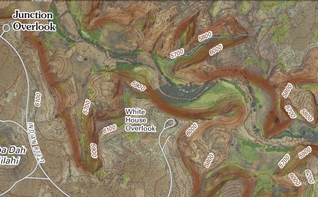
Digital Topographic Map of White House Ruins Area, Canyon de Chelly National Monument – Chinle, Arizona
Canyon de Chelly National Monument
Map of Canyon de Chelly National Monument
Canyon de Chelly National Monument (Wikipedia entry)
US Topo, the next generation of digital topographic maps from the USGS
USGS Store for downloading free topographic maps
Weather forecast for Chinle, Arizona vicinity
Blog entries for Canyon de Chelly National Monument
-
Orthoimage Map of Wade House Historic Site – Greenbush, Wisconsin
-
Orthoimage Map of Mauthe Lake (at left), Kettle Moraine State Forest, Northern Unit – Campbellsport, Wisconsin
Kettle Moraine State Forest, Northern Unit
Coordinates for computerized mapping – Kettle Moraine State Forest, Northern Unit
Maps of Kettle Moraine State Forest, Northern Unit
USGS Store for free downloading of topographic maps
Blog entries for Kettle Moraine State Forest, Northern Unit
Weather forecast for Campbellsport, Wisconsin vicinity
