-
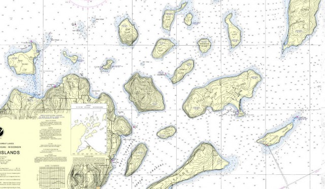
Nautical Chart of Apostle Islands – Bayfield County, Wisconsin

(Frog Bay is to the left of Oak Island near the center of the photograph)NOAA Office of Coast Survey Nautical Chart for the Apostle Islands
Nautical Chart Online Viewer for the Great Lakes
Weather forecast for Red Cliff, WI vicinity
Blog entries for Frog Bay Tribal National Park
-
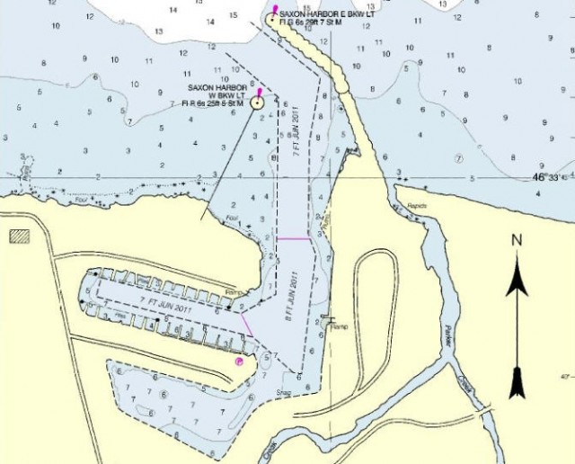
Navigation Chart of Saxon Harbor – Saxon, Wisconsin
-
Navigation Chart Offshore of Kohler-Andrae State Park – Sheboygan, Wisconsin
-
Goose Island Navigation Chart – La Crosse County, Wisconsin
-
Nautical Chart for Apostle Islands Sea Caves Vicinity – Bayfield County, Wisconsin
-
Nautical Chart of Approximate Location of the Christmas Tree Ship, Schooner Rouse Simmons – Two Rivers, Wisconsin
(Note: The red circle on chart is NOT accurate. The remains of the Rouse Simmons were found in 1971 by Milwaukee diver Kent Bellrichard who discovered the vessel’s remains in 165 feet of water 12 miles northeast of Two Rivers, Wisconsin.)The Tale of the Christmas Tree Ship (Wisconsin State Historical Society)
Vessel Detail Information for the Rouse Simmons
NOAA Nautical Chart 14903: Algoma to Sheboygan; Kewaunee; Two Rivers
Map of Point Beach State Forest
-
Navigation Chart of Little Traverse – Bay View, Michigan
-
Little Sand Bay Nautical Chart, Apostle Islands National Lakeshore – Bayfield, Wisconsin
