-
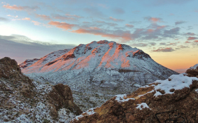
Alpenglow on Golden Gate Mountain, Tucson Mountain Park – Tucson, AZ

©2013 John Wanserski for Creative Juice LLCMap of Tucson Mountain Park (PDF file)
Blog entries for Tucson Mountain Park
Blog entries for Gates Pass, Tucson Mountain Park
Weather forecast for Tucson, Arizona vicinity
-
Morning Twilight at Pusch Ridge Wilderness – Tucson, Arizona

©2012 John Wanserski for Creative Juice LLCMaps of Catalina State Park (PDF file)
Weather forecast for Tucson, Arizona vicinity
Blog entries for Pusch Ridge Wilderness
-
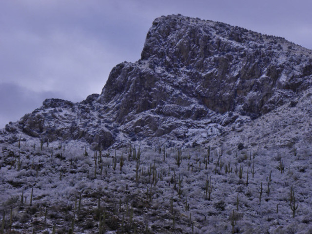
Pusch Ridge in Winter, Coronado National Forest – Tucson, Arizona

©2012 John Wanserski for Creative Juice LLCMaps of Catalina State Park (PDF file)
Weather forecast for Tucson, Arizona vicinity
Blog entries for Pusch Ridge Wilderness
-
Trempealeau Mountain, Perrot State Park – Trempealeau, Wisconsin
©2010 John Wanserski for Creative Juice LLCAncient Trempealeau (WI Historical Society document)
Perrot State Park blog postings
Weather forecast for Trempealeau, Wisconsin vicinity
-
Trempealeau Mountain, Perrot State Park – Trempealeau, Wisconsin
©2010 John Wanserski for Creative Juice LLCArchaeology in Trempealeau, Wisconsin (Mississippi Valley Archaeology Society)
Perrot State Park blog postings
Weather forecast for Trempealeau, Wisconsin vicinity
-
Trempealeau Mountain, Perrot State Park – Trempealeau, Wisconsin
©2010 John Wanserski for Creative Juice LLCAdventures of Nicolas Perrot (WI Historical Society, American Journeys Project)
Perrot State Park blog postings
Weather forecast for Trempealeau, Wisconsin vicinity
-
Hoodoos on the Catalina Highway to Mount Lemmon, Coronado National Forest – Tucson, Arizona
©2010 John Wanserski for Creative Juice LLC
Coronado National ForestDefinition of Hoodoos (Wikipedia entry)
Weather forecast for Tucson, Arizona vicinity
Blog entries for Coronado National Forest
-
Video of Rib Mountain State Park – Wausau, Wisconsin
Rib Mountain rises 650 feet above the central Wisconsin flatlands. At 1,924 feet, Rib Mountain is Wisconsin’s third highest point (Timm’s Hill is the highest point, 1,951 ft.). The 1,460 acre park covers much of a monadnock (an isolated hill that rises abruptly from the surrounding plain) formed out of 1.7 billion year old metamorphic quartzite rock The Chippewa Indians called it O-pic-wun-a-se-be. The first part of the word means rib. In the 1890s the rock was mined to make sandpaper. The area became a park in 1927. The Civilian Conservation Corps (CCC) built trails, a campground and gazebo in the 1930s. The downhill ski runs also opened in the 1930s. There are 30 campsites and showers. Music copyright 2009, Paul Ehlers. Photographs and Slideshow copyright 2009, Creative Juice LLC.
Camping at Rib Mountain State Park (Friends of Rib Mountain State Park website)
Blog entries for Rib Mountain State Park