-
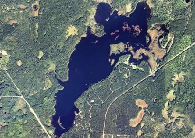
Air Photo of Mondeaux Flowage, Chequamegon-Nicolet National Forest – Medford, Wisconsin
Chequamegon-Nicolet National Forest
Trails in the Chequamegon-Nicolet National Forest
Blog entries for Mondeaux Flowage in the Chequamegon-Nicolet National Forest
Blog entries for the Chequamegon-Nicolet National Forest
Weather forecast for Medford, Wisconsin vicinity
USGS Store for free downloads of topographic maps
-
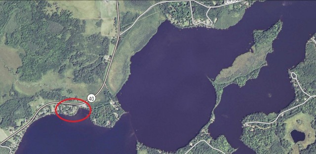
Air Photo of Morris-Erickson County Park on Long Lake, New Auburn, Wisconsin
-
Air Photo of Day Lake, Chequamegon-Nicolet National Forest – Clam Lake, Wisconsin

Chequamegon-Nicolet National ForestTrails in the Chequamegon-Nicolet National Forest
USGS Store for free downloads of topographic maps
Blog entries for Day Lake in the Chequamegon-Nicolet National Forest
Blog entries for the Chequamegon-Nicolet National Forest
Weather forecast for Clam Lake, Wisconsin vicinity
-
Landsat 7 Photograph of Trout Lake Area, Northern Highland-American Legion State Forest – Boulder Junction, Wisconsin
Northern Highland-American Legion State Forest
Wisconsin Landsat Satellite Imagery
WisconsinView; Coordinating Remote Sensing Imagery Access and Use in Wisconsin
Maps of the Northern Highland-American Legion State Forest
Blog entries for the Northern Highland-American Legions State Forest
-
Mauthe Lake – Kettle Moraine State Forest, Northern Unit – Campbellsport, Wisconsin
Kettle Moraine State Forest, Northern Unit
Lake depth map of Mauthe Lake – Kettle Moraine State Forest, Northern Unit
Map of Kettle Moraine State Forest, Northern Unit
Blog entries for Kettle Moraine State Forest, Northern Unit
Weather forecast for Campbellsport, Wisconsin vicinity

