-
Topographic Map of Blue Mound State Park – Blue Mounds, Wisconsin
-
Moonrise from East Observation Tower at Blue Mound State Park – Blue Mounds, Wisconsin
-
Blue Mound State Park, Looking North – Blue Mounds, Wisconsin
-
Topographic Map of Blue Mound State Park – Blue Mounds, Wisconsin
-
Blue Mound State Park, Accessible Cabin – site 27, Blue Mounds, Wisconsin
-
Observation Tower, Blue Mound State Park – Blue Mounds, Wisconsin
-
Blue Mound State Park – Blue Mounds, Wisconsin
The Winnebago Indians called this highest point in southern Wisconsin “Weehaukaja”, meaning “a high place with a wonderful view.” There are two 40 ft. observation towers offering a commanding view in all directions. At 1,716 feet above sea level, you will have clear views of the state capitol in Madison, 25 miles away. The park has the only heated swimming pool in the Wisconsin park system. The campground is open year round, has 77 sites (16 with electricity), and a rustic accessible cabin. This 1,100 acre park has three trails designated as hiking-only. The park has 6 miles of off-road bicycle trails. Access is also provided to the 40-mile Military Ridge State Trail that runs from Governor Dodge State Park, through Blue Mound State Park and on to Madison.
Camping at Blue Mound State Park
YouTube video of Blue State Park
Weather forecast for Blue Mound State Park vicinity
Blog entries for Blue Mound State Park
-
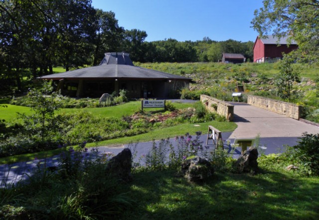
Visitor Center, Cave of the Mounds – Blue Mounds, Wisconsin
