WI Maps
-
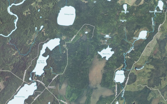
Orthoimage Map of Lake of the Pines, Flambeau River State Forest – Winter, WI
Map of Flambeau River State Forest (PDF file)
Map of Lake of the Pines (PDF File)
US Topo, the next generation of digital topographic maps from the USGS
USGS Store for downloading free topographic maps
Weather forecast for Winter, Wisconsin vicinity
Blog entries for the Flambeau River State Forest
-
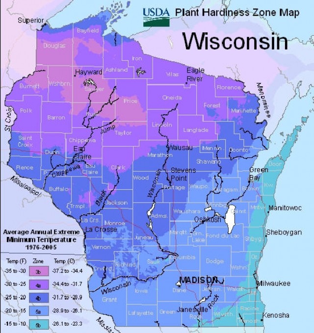
Map of Wisconsin Plant Hardiness Zones – USDA Plant Hardiness Zone Map
-
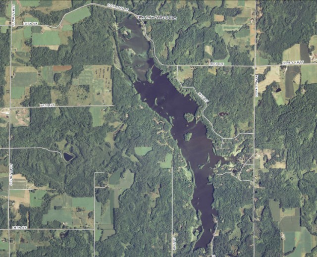
Orthoimage Map of Otter Lake – Stanley, Wisconsin
Lakes, rivers, and streams of Chippewa County
US Topo, the next generation of digital topographic maps from the USGS
USGS Store for downloading free topographic maps
Weather forecast for Stanley, Wisconsin vicinity
Blog entries for Otter Lake County Park
-
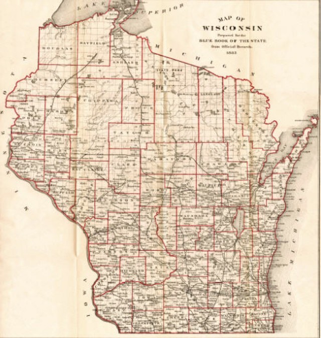
1881 Map of Wisconsin
-
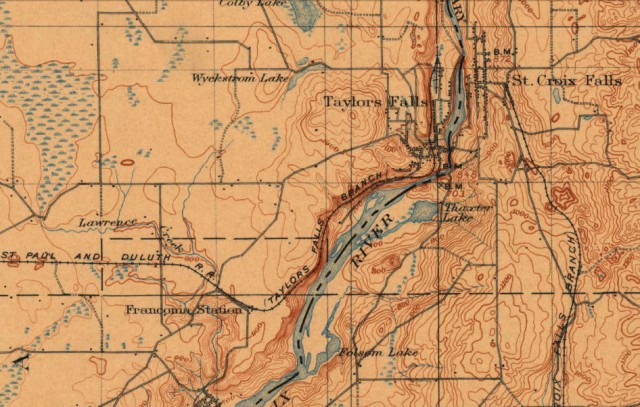
1900 Historical Topographic Map of St. Croix Dalles, Interstate Park – St. Croix Falls, Wisconsin
Map of Interstate Park (PDF file)
Dalles of the St. Croix State Natural Area
USGS Store for topographic maps and other maps
Saint Croix National Scenic Riverway
Blog entries for the Saint Croix National Scenic Riverway
Weather forecast for the St. Croix Falls, WI
Blog entries for Interstate Park
-
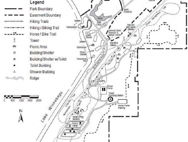
Map of High Cliff State Park – Sherwood, Wisconsin
-
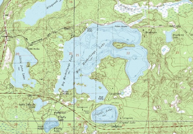
Topographic Map of Big Musky Lake, Northern Highland-American Legion State Forest – Boulder Junction, WI
Northern Highland-American Legion State Forest
Map of Big Muskellunge Lake (PDF file)
Maps of the Northern Highland-American Legion State Forest
USGS Store for topographic maps and other maps
Blog entries for Big Muskellunge Lake
Blog entries for the Northern Highland-American Legions State Forest
Weather forecast for Boulder Junction, Wisconsin vicinity
-
Map of the Northwestern Territories of the U.S., 1820 Governor Cass Expedition
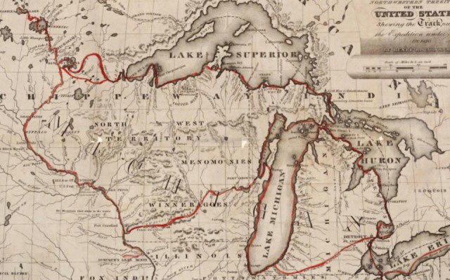
(“Any map may be printed or downloaded at no cost for nonprofit educational use by teachers and students, or for private use by individual researchers. Nothing may be reproduced in any format for commercial purposes without prior permission from the Wisconsin Historical Society.”)Map of the Northwest Territories of the United States…1820
Wisconsin Historical Society, Map and Atlas Collection
Wisconsin maps at the Wisconsin State Cartographer’s site
USGS Store for topographic maps and other maps
Blog entries for Wisconsin maps
