Maps
-
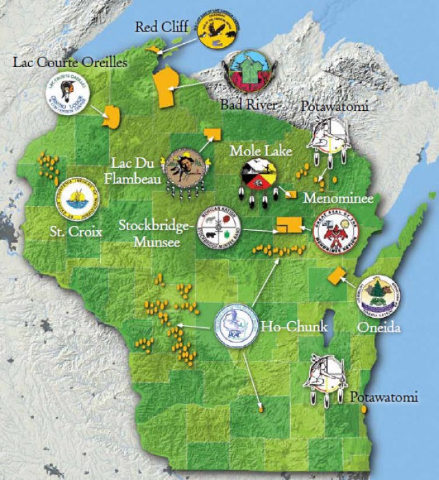
Map of Native American Reservations in Wisconsin
Native American Tribes in Wisconsin
Native American Tourism of Wisconsin
Indians in the 20th Century (Wisconsin Historical Society)
Great Lakes Indian Fish and Wildlife Commission (GLIFWC)
Free Trail Maps and Guides from the Wisconsin Department of Tourism
Wisconsin maps at the Wisconsin State Cartographer’s site
USGS Store for topographic maps and other maps
Blog entries for Wisconsin maps
-
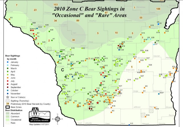
Bear Sightings during 2010 in the Southern Half of Wisconsin
Black Bear Population Status and Distribution
Crossing Paths with Bears (WI Natural Resources Magazine)
Free Trail Maps and Guides from the Wisconsin Department of Tourism
Wisconsin maps at the Wisconsin State Cartographer’s site
USGS Store for topographic maps and other maps
Blog entries for Wisconsin maps
-
Orthoimage Map of Wade House Historic Site – Greenbush, Wisconsin
-
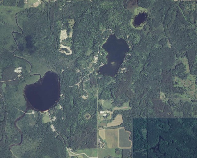
Orthoimage Map of Mauthe Lake (at left), Kettle Moraine State Forest, Northern Unit – Campbellsport, Wisconsin
Kettle Moraine State Forest, Northern Unit
Coordinates for computerized mapping – Kettle Moraine State Forest, Northern Unit
Maps of Kettle Moraine State Forest, Northern Unit
USGS Store for free downloading of topographic maps
Blog entries for Kettle Moraine State Forest, Northern Unit
Weather forecast for Campbellsport, Wisconsin vicinity
-
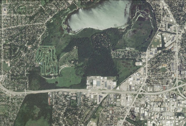
Orthoimage of the UW Arboretum (and Lake Wingra)- Madison, Wisconsin
-
Air Photo of Mondeaux Flowage, Chequamegon-Nicolet National Forest – Medford, Wisconsin
Chequamegon-Nicolet National Forest
Trails in the Chequamegon-Nicolet National Forest
Blog entries for Mondeaux Flowage in the Chequamegon-Nicolet National Forest
Blog entries for the Chequamegon-Nicolet National Forest
Weather forecast for Medford, Wisconsin vicinity
USGS Store for free downloads of topographic maps
-
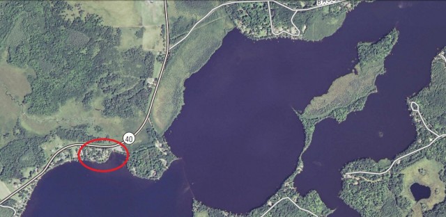
Air Photo of Morris-Erickson County Park on Long Lake, New Auburn, Wisconsin
-
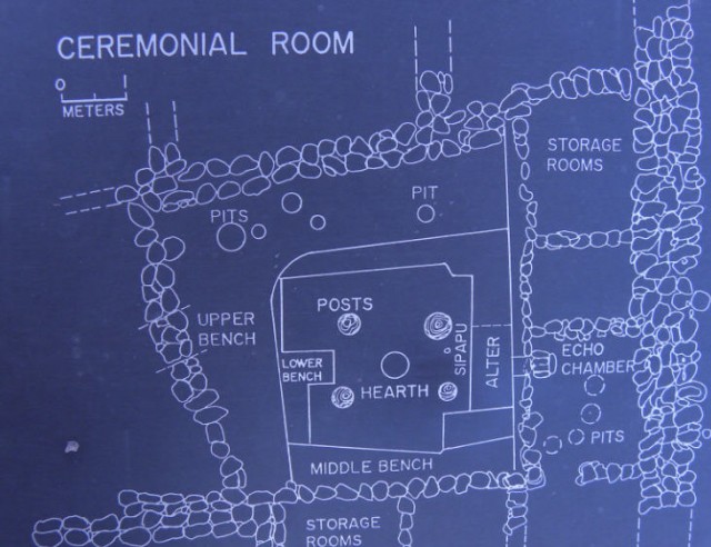
Map of Ceremonial Room, Besh Ba Gowah Archeological Park – Globe, Arizona
