Maps
-
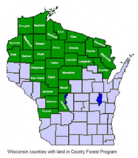
Map of Wisconsin County Forests
-
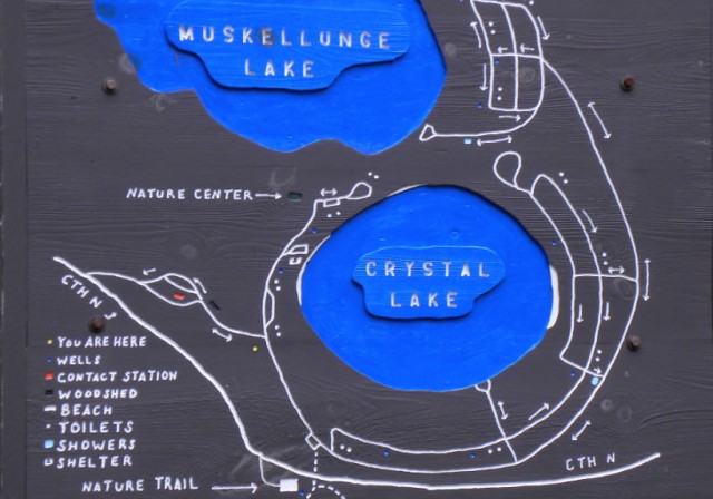
Map of Crystal Lake, Northern Highland-American Legion State Forest – Boulder Junction, Wisconsin
Northern Highland-American Legion State Forest
Map of Crystal Lake (PDF file)
Maps of the Northern Highland-American Legion State Forest
Blog entries for the Northern Highland-American Legions State Forest
Weather forecast for Boulder Junction, Wisconsin vicinity
-
Map of the Hubbell Trading Post National Historic Site – Ganado, Arizona
Hubbell Trading Post National Historic Site
Map of Hubbell Trading Post National Historic Site
Hubbell Trading Post Museum Collections
Trading Posts in the American Southwest
Weather forecast for Ganado, Arizona vicinity
Blog entries for Hubbell Trading Post National Historic Site
-
Map of the Grounds for Cave of the Mounds – Blue Mounds, Wisconsin

©2011 John Wanserski for Creative Juice LLCCave of the Mounds National Natural Landmark
Cave Map for Cave of the Mounds
Blog entries for Cave of the Mounds
Weather forecast for Blue Mounds, Wisconsin vicinity
-
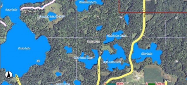
Map of Riley Lake (on right) Vicinity, Chippewa County Forest – New Auburn, Wisconsin
Chippewa County Forest and Trails Division
Chippewa Moraine Ice Age State Recreation Area
Chippewa Moraine Ice Age State Recreation Area map
Chippewa County, WI Geographic Information Web Server
Blog entries for Chippewa County Forest
Blog entries for Chippewa Moraine Ice Age State Recreation Area
Weather forecast for New Auburn, Wisconsin vicinity
-
Carte des lacs du Canada (Early Map of the Great Lakes, 1744) in the Collections of the Wisconsin Historical Society
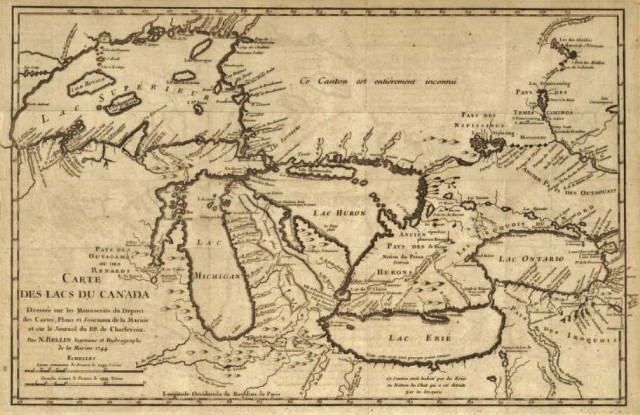
(“Any map may be printed or downloaded at no cost for nonprofit educational use by teachers and students, or for private use by individual researchers. Nothing may be reproduced in any format for commercial purposes without prior permission from the Wisconsin Historical Society.”)Carte des lacs du Canada, 1744
Wisconsin Historical Society, Map and Atlas Collection
Wisconsin maps at the Wisconsin State Cartographer’s site
USGS Store for topographic maps and other maps
Blog entries for Wisconsin maps
-
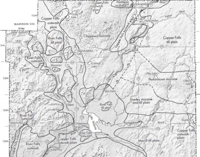
Pleistocene Geology of Chippewa County and the Chippewa Moraine State Recreation Area – New Auburn, Wisconsin
Chippewa Moraine Ice Age State Recreation Area
Chippewa Moraine Ice Age State Recreation Area map
Pleistocene Epoch (Wikipedia entry)
Downloadable Digital Datasets from: Wisconsin Geological Survey
Chippewa Moraine State Recreation Area Interpretive Center
Blog entries for Chippewa Moraine Ice Age State Recreation Area
Weather forecast for New Auburn, Wisconsin vicinity
-
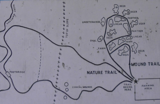
Map of Indian Mound Park – Sheboygan, Wisconsin
