-
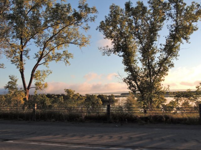
Kaleidoscope Image of Trees along the Road by the Mississippi River, North of La Crosse – La Crosse, WI

©2018 John Wanserski for Creative Juice LLC
©2018 John Wanserski for Creative Juice LLCReno Bottoms Canoe Trail (PDF file)
Weather forecast for La Crosse, Wisconsin vicinity
-
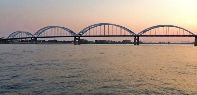
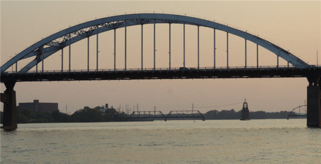
Centennial Bridge at Evening Twilight, LeClaire Park – Davenport, Iowa
-
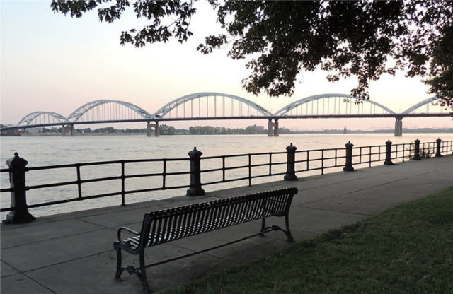
Bench Along the Riverwalk, LeClaire Park – Davenport, Iowa
-
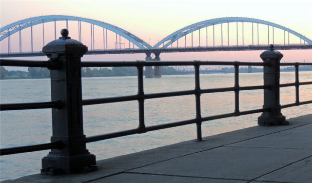
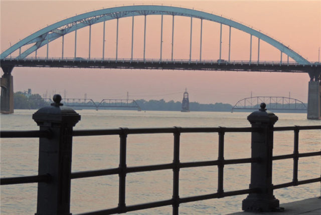
Centennial Bridge From the Riverwalk, LeClaire Park – Davenport, Iowa
-
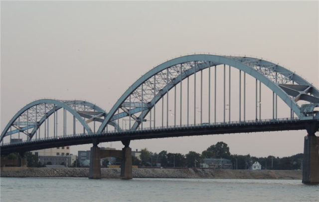
Centennial Bridge Sections Near Rock Island, LeClaire Park – Davenport, Iowa
-
Section of Bridge Over the Mississippi River, LeClaire Park – Davenport, Iowa
-
Bridge Over the Mississippi River from the River Walk, LeClaire Park – Davenport, Iowa
-
American White Pelican in the Mississippi River, LeClaire Park – Davenport, Iowa

©2016 John Wanserski for Creative Juice LLCLeClaire Park, Davenport, Iowa (Wikipedia entry)
American White Pelican (Cornell Lab of Ornithology)
W.D. Petersen Memorial Music Pavilion (Wikipedia entry)
Weather forecast for the Quad Cities area
Blog entries for LeClaire Park, Davenport, IA