-
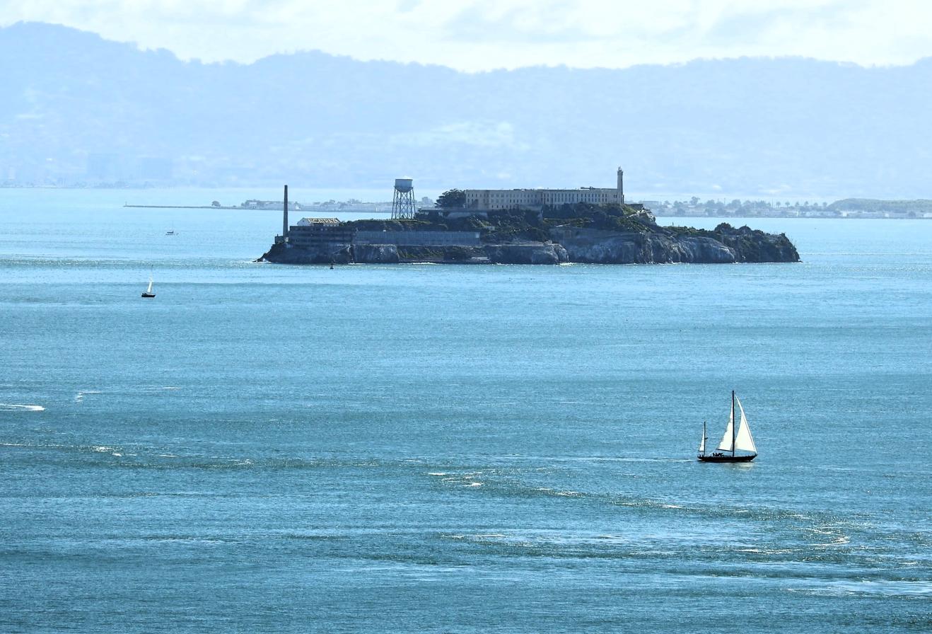
Sailboat Near Alcatraz Island, Golden Gate National Recreation Area – San Francisco, CA

©2026 John Wanserski for Creative Juice LLC
San Francisco (Wikipedia entry)
Golden Gate National Recreation Area, San Francisco, CA
Weather forecast for the San Francisco, CA area
Blog entries for the Golden Gate Bridge
Blog entries for the Golden Gate National Recreation Area
-
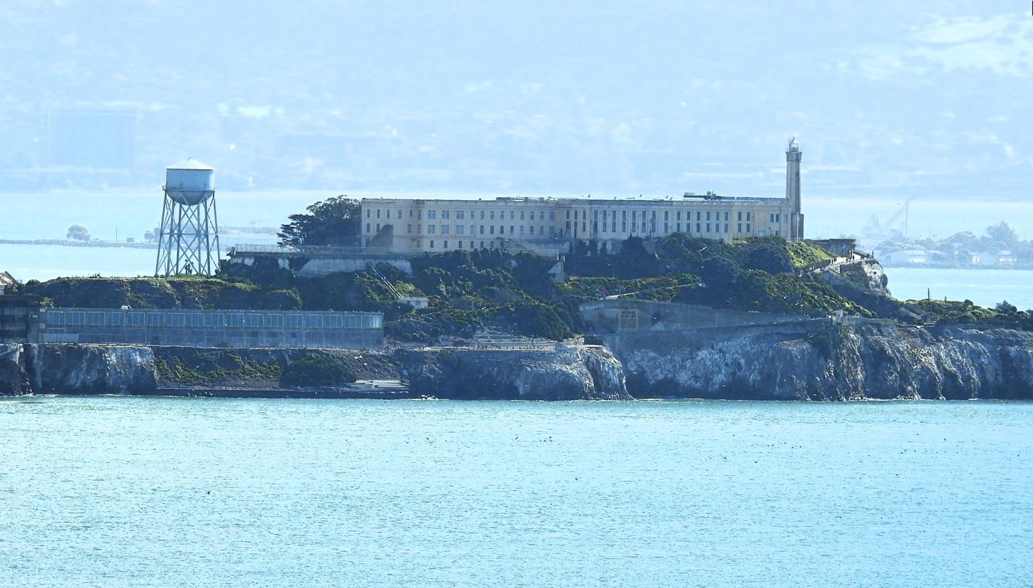
Alcatraz Island, Golden Gate National Recreation Area – San Francisco, CA

©2026 John Wanserski for Creative Juice LLC
San Francisco (Wikipedia entry)
Golden Gate National Recreation Area, San Francisco, CA
Weather forecast for the San Francisco, CA area
Blog entries for the Golden Gate Bridge
Blog entries for the Golden Gate National Recreation Area
-
Tall Ship Near Alcatraz Island, Golden Gate National Recreation Area – San Francisco, CA
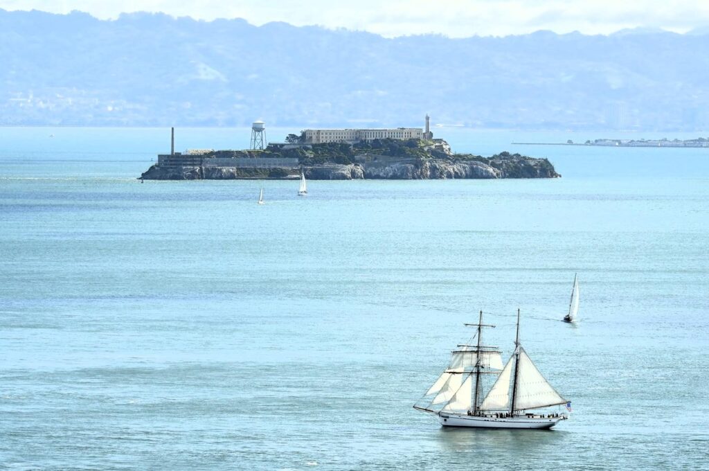
©2026 John Wanserski for Creative Juice LLC
San Francisco (Wikipedia entry)
Golden Gate National Recreation Area, San Francisco, CA
Weather forecast for the San Francisco, CA area
Blog entries for the Golden Gate Bridge
Blog entries for the Golden Gate National Recreation Area
-
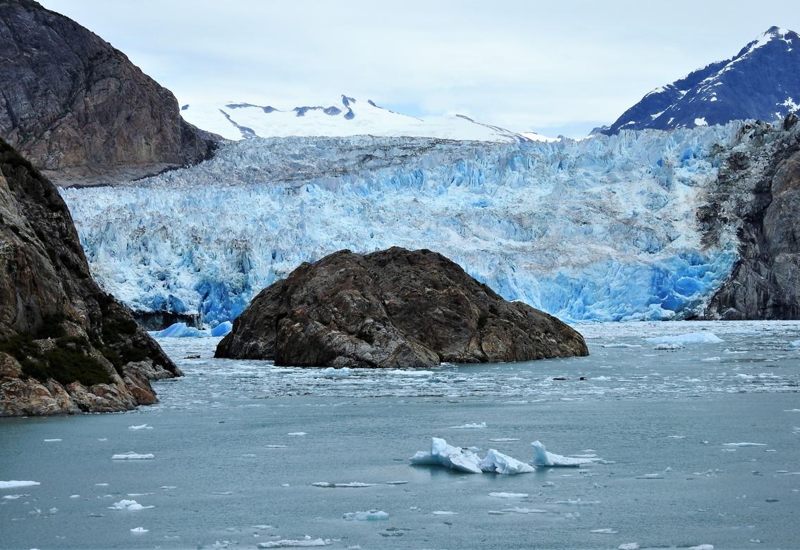
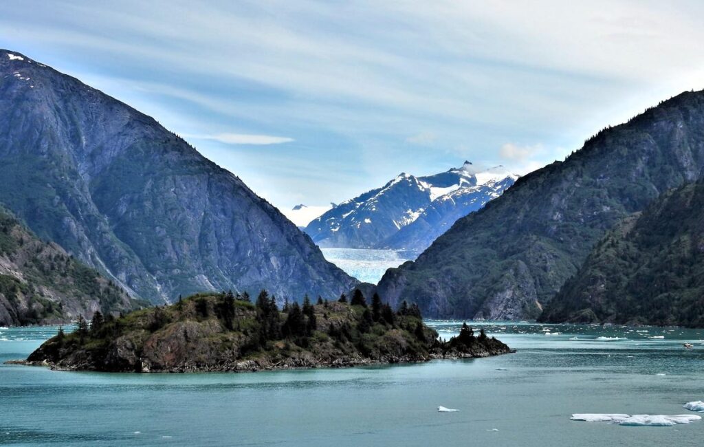
Sawyer Glacier Behind the Island, Tracy Arm-Fords Terror Wilderness – Juneau, AK
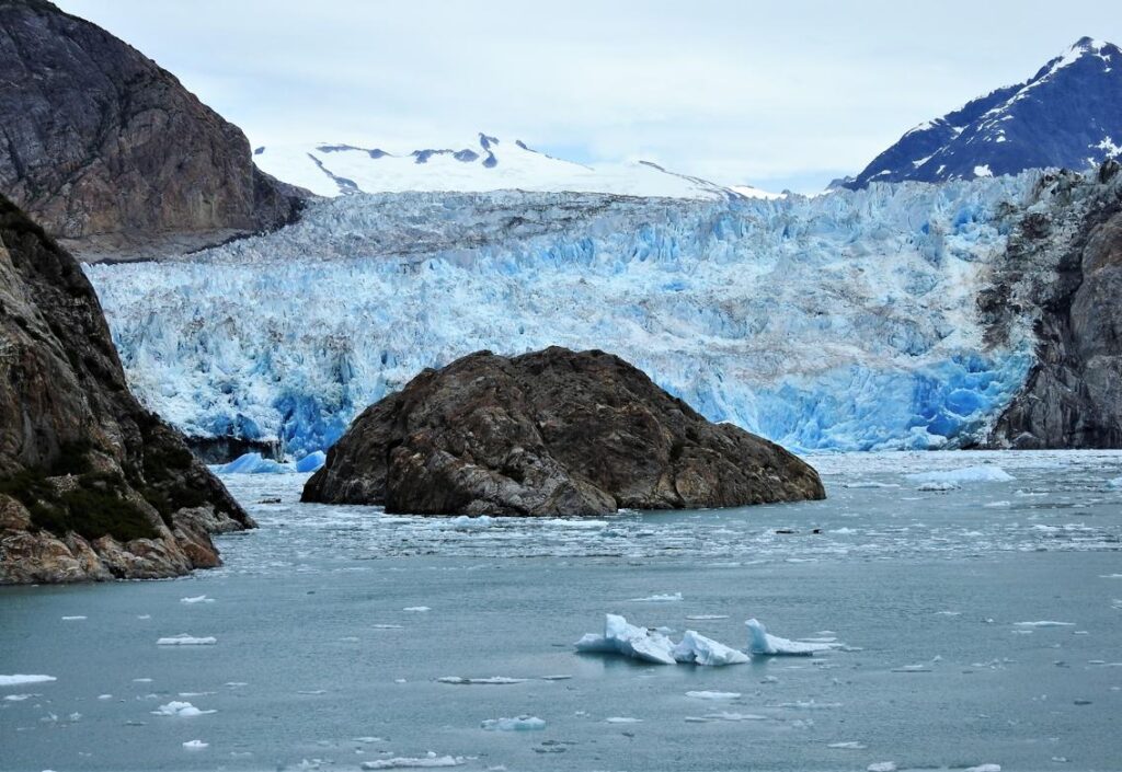
©2024 John Wanserski for Creative Juice LLC
Tracy Arm-Fords Terror Wilderness, Tongass National Forest (PDF file)
Sawyer Glacier, Tracy Arm, Tongass National Forest (AGU Blogosphere entry)
Weather forecast for Juneau, AK vicinity
-
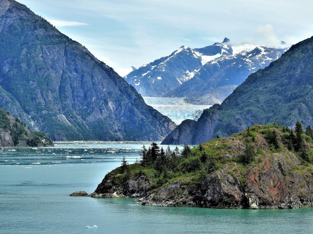
Island and Glacier in the Fjord, Tracy Arm-Fords Terror Wilderness – Juneau, AK

©2024 John Wanserski for Creative Juice LLC
Tracy Arm-Fords Terror Wilderness, Tongass National Forest (PDF file)
Sawyer Glacier, Tracy Arm, Tongass National Forest (AGU Blogosphere entry)
Weather forecast for Juneau, AK vicinity
-
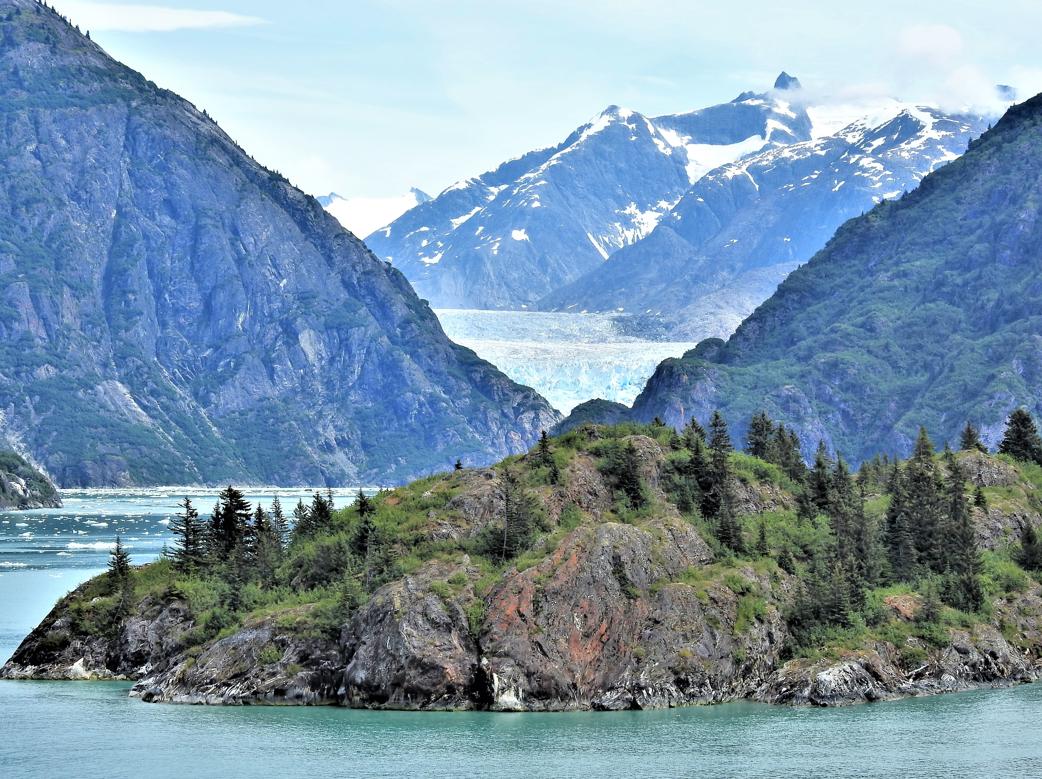
Glacier Beyond the Island, Tracy Arm-Fords Terror Wilderness – Juneau, AK

©2024 John Wanserski for Creative Juice LLC
Tracy Arm-Fords Terror Wilderness, Tongass National Forest (PDF file)
Sawyer Glacier, Tracy Arm, Tongass National Forest (AGU Blogosphere entry)
Weather forecast for Juneau, AK vicinity
-
Island in the Fjord, Tracy Arm-Fords Terror Wilderness – Juneau, AK
©2024 John Wanserski for Creative Juice LLC
Tracy Arm-Fords Terror Wilderness, Tongass National Forest (PDF file)
Sawyer Glacier, Tracy Arm, Tongass National Forest (AGU Blogosphere entry)
Weather forecast for Juneau, AK vicinity
-
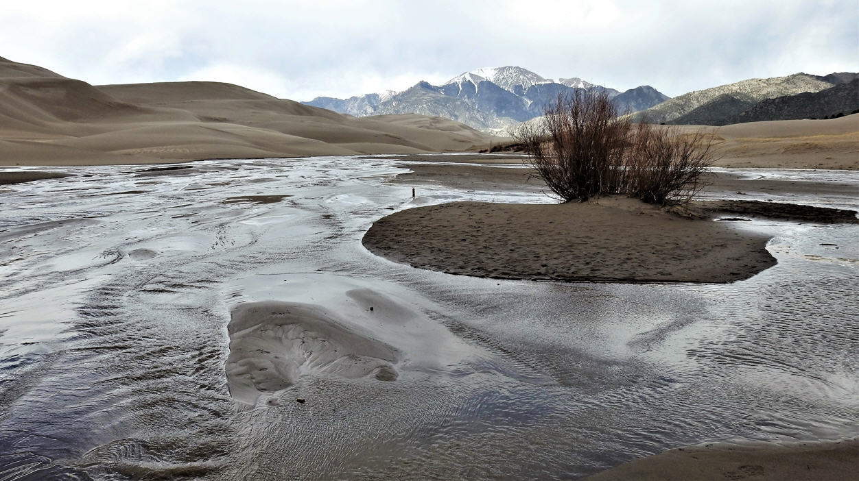
Island in the Creek, Great Sand Dunes National Park and Preserve – Mosca, CO