-
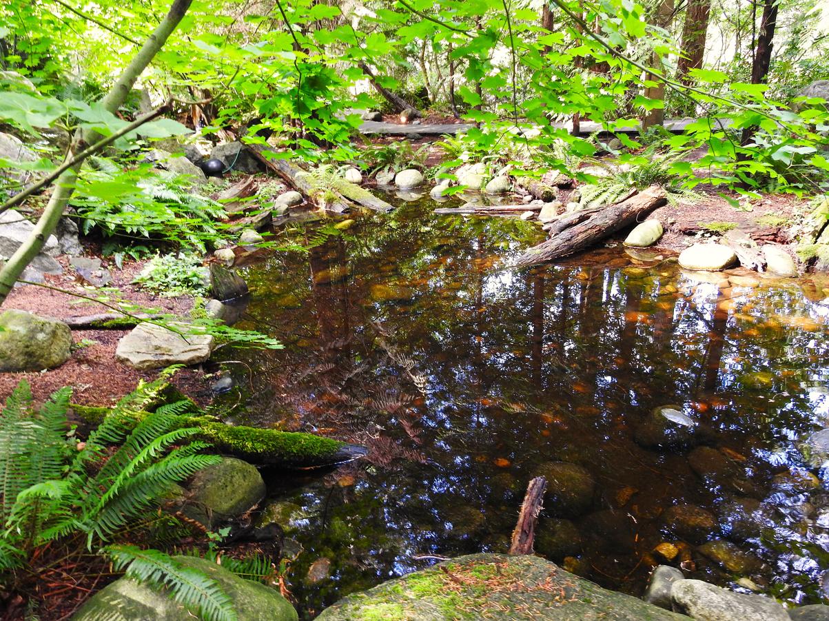
Pool at Bottom of Small Waterfall, Capilano Suspension Bridge – Vancouver, Canada
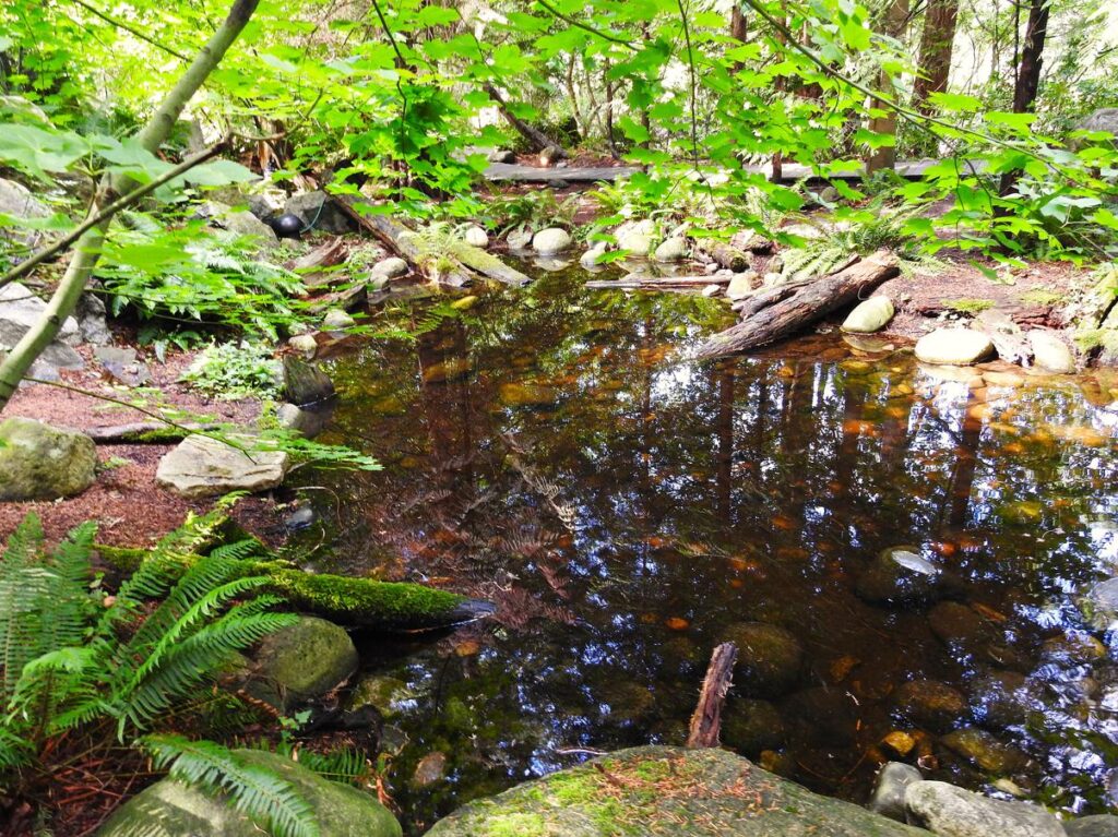
©2025 John Wanserski for Creative Juice LLC
Capilano Suspension Bridge Park
Cliffwalk at Capilano Suspension Bridge Park
Vancouver, Canada (Wikipedia entry)
Weather forecast for the Vancouver, Canada area
Blog entries for the Cliffwalk at Capilano Suspension Bridge Park
Blog entries for Capilano Suspension Bridge Park
-
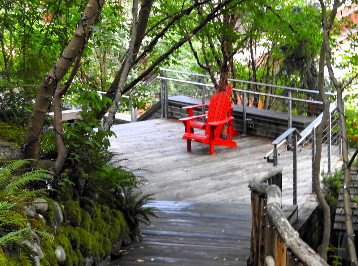
Seating Area on the Path, Capilano Suspension Bridge Park – Vancouver, Canada

©2025 John Wanserski for Creative Juice LLC
Capilano Suspension Bridge Park
Cliffwalk at Capilano Suspension Bridge Park
Vancouver, Canada (Wikipedia entry)
Weather forecast for the Vancouver, Canada area
Blog entries for the Cliffwalk at Capilano Suspension Bridge Park
Blog entries for Capilano Suspension Bridge Park
-
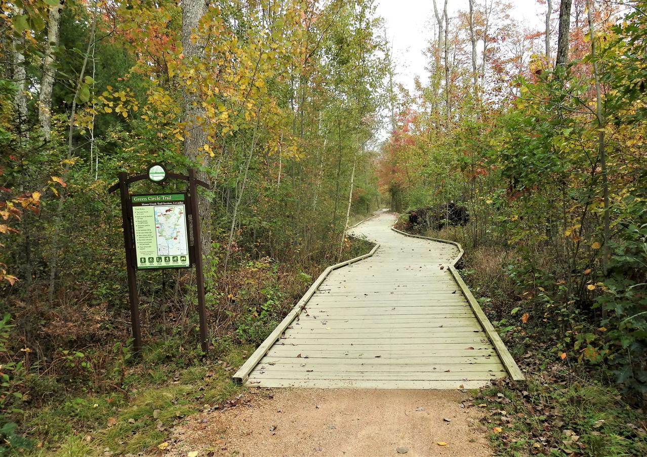
Trailhead, Moses Creek Trail – Stevens Point, WI
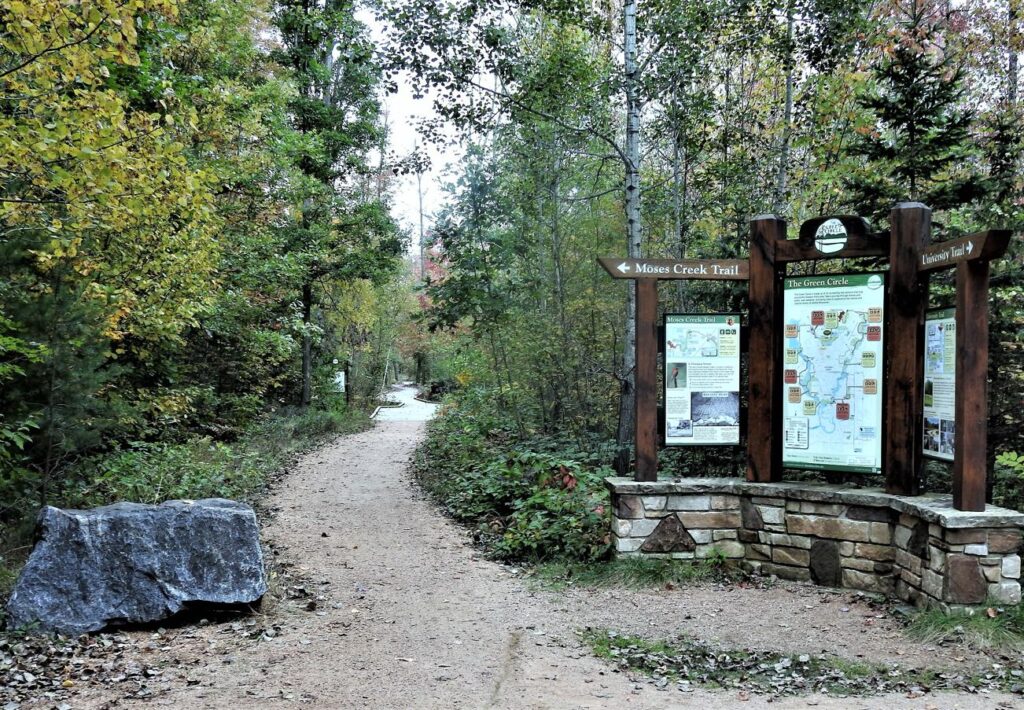
©2025 John Wanserski for Creative Juice LLC
Weather forecast for Stevens Point, WI vicinity
Blog entries for Moses Creek Trail
Map of Green Circle Trail (PDF file)
-
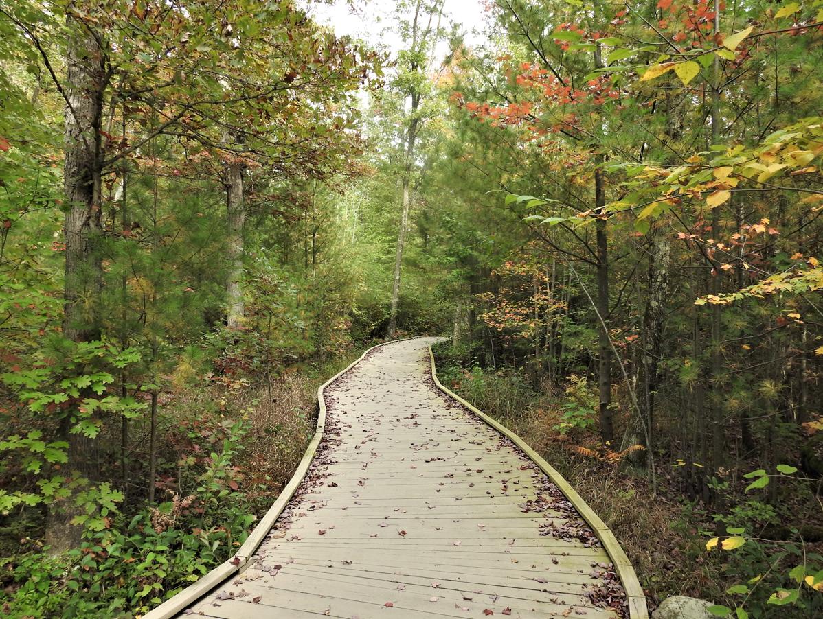
Beginning of the Boardwalk, Moses Creek Trail – Stevens Point, WI

©2025 John Wanserski for Creative Juice LLC
Weather forecast for Stevens Point, WI vicinity
Blog entries for Moses Creek Trail
Map of Green Circle Trail (PDF file)
-
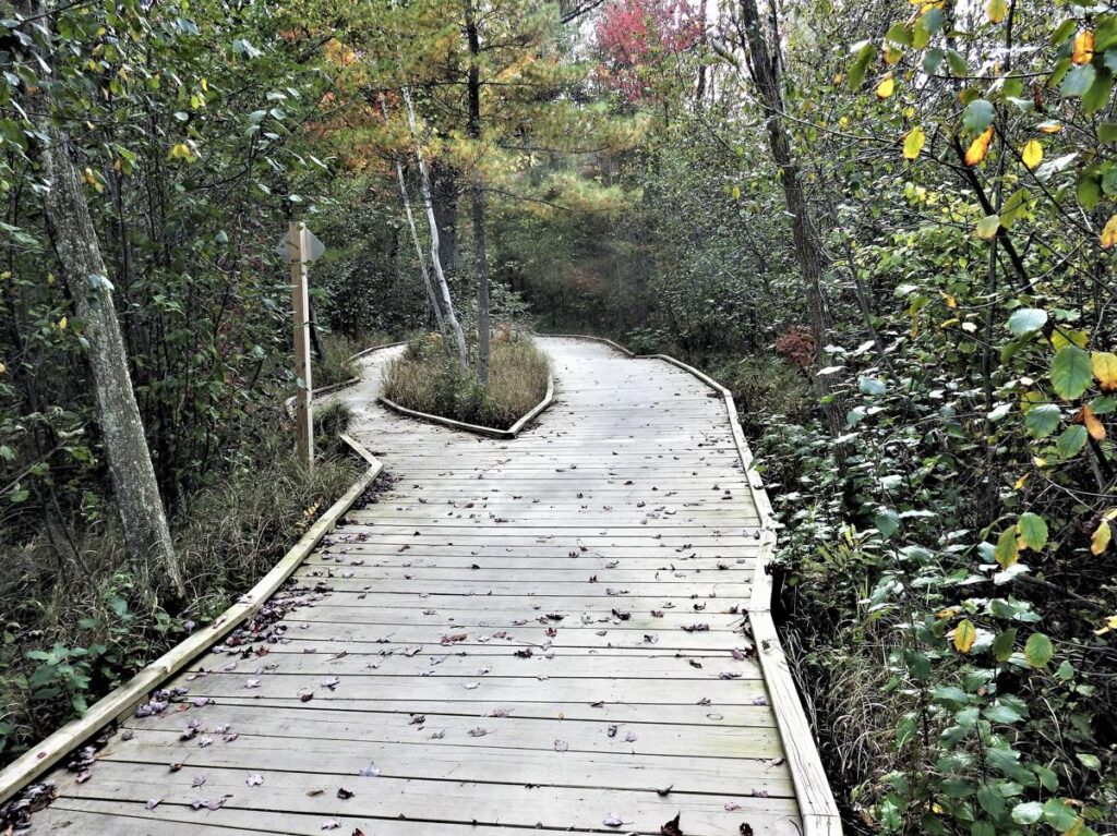
Meandering Boardwalk, Moses Creek Trail – Stevens Point, WI

©2025 John Wanserski for Creative Juice LLC
Weather forecast for Stevens Point, WI vicinity
Blog entries for Moses Creek Trail
Map of Green Circle Trail (PDF file)
-
Boardwalk Skirts a Tree, Moses Creek Trail – Stevens Point, WI
©2025 John Wanserski for Creative Juice LLC
Weather forecast for Stevens Point, WI vicinity
Blog entries for Moses Creek Trail
Map of Green Circle Trail (PDF file)
-
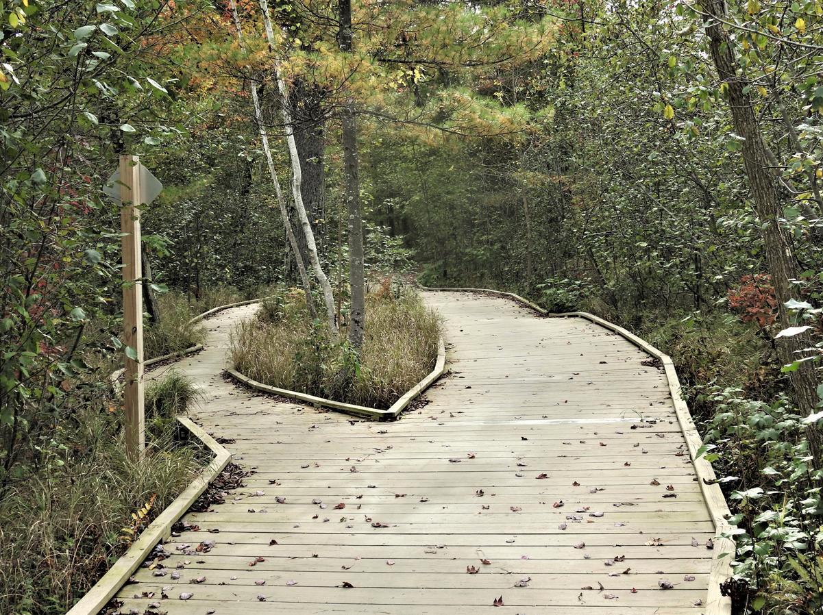
Split in the Boardwalk, Moses Creek Trail – Stevens Point, WI

©2025 John Wanserski for Creative Juice LLC
Weather forecast for Stevens Point, WI vicinity
Blog entries for Moses Creek Trail
Map of Green Circle Trail (PDF file)
-
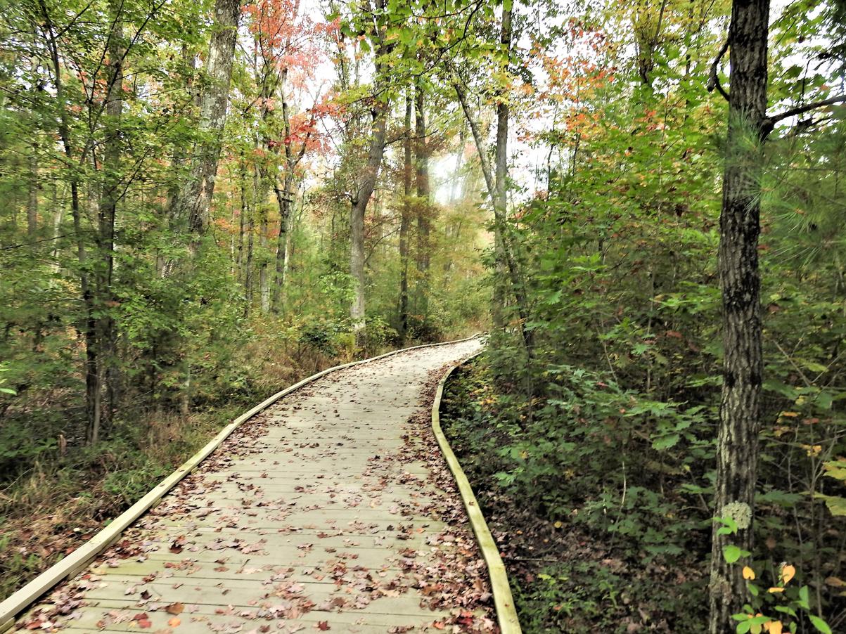
Curving Boardwalk, Moses Creek Trail – Stevens Point, WI

©2025 John Wanserski for Creative Juice LLC
Weather forecast for Stevens Point, WI vicinity
Blog entries for Moses Creek Trail
Map of Green Circle Trail (PDF file)