Videos
-
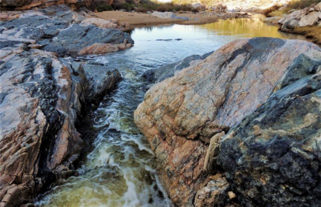
Kaleidoscope Image of Pool Below the Cascade in Tanque Verde Canyon, Coronado National Forest – Tucson, Arizona
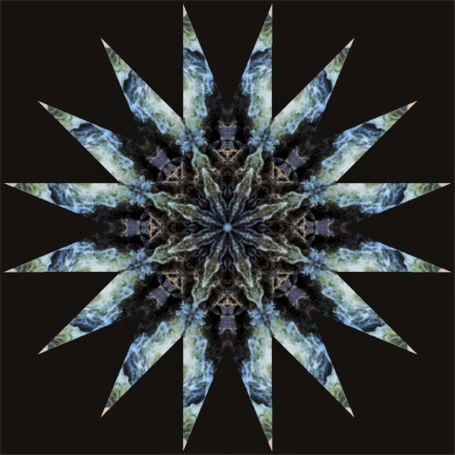
©2018 John Wanserski for Creative Juice LLC
©2017 John Wanserski for Creative Juice LLCLandforms of Pima County, Arizona (Wikipedia entry)
Weather forecast for Tucson, Arizona vicinity
Blog entries for Tanque Verde Canyon
Blog entries for Coronado National Forest
-
Dining Room in the LBJ Birthplace, Lyndon B. Johnson National Historical Park – Stonewall, TX
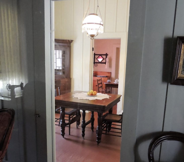
©2017 John Wanserski for Creative Juice LLCLyndon B. Johnson National Historical Park
Lyndon B. Johnson State Park and Historic Site
Map of Lyndon B. Johnson National Historical Park
Map of Lyndon B. Johnson State Park and Historic Site (PDF file)
Weather forecast for the Stonewall, Texas area
Blog entries for Lyndon B. Johnson National Historical Park, Stonewall, TX
Blog entries for Lyndon B. Johnson State Park and Historic Site, Stonewall, TX
-
Video of Pattison State Park – Superior, Wisconsin
©2015 John Wanserski for Creative Juice LLCMap of Pattison State Park (PDF file)
Map of Pattison State Park Campground (PDF file)
Map of Interfalls Lake, Pattison State Park (PDF File)
Blog entries for Pattison State Park
Weather forecast for Superior, Wisconsin vicinity
-
Video of Pattison State Park Campground – Superior, Wisconsin
©2015 John Wanserski for Creative Juice LLCMap of Pattison State Park (PDF file)
Map of Pattison State Park Campground (PDF file)
Map of Interfalls Lake, Pattison State Park (PDF File)
Blog entries for Pattison State Park
Weather forecast for Superior, Wisconsin vicinity
-
Video of Mondeaux Flowage, Chequamegon-Nicolet National Forest – Medford, WI
©2015 John Wanserski for Creative Juice LLCChequamegon-Nicolet National Forest
Map of Mondeaux Flowage (PDF file)
Mondeaux Flowage (DNR information site)
Blog entries for Mondeaux Flowage in the Chequamegon-Nicolet National Forest
Blog entries for the Chequamegon-Nicolet National Forest
Weather forecast for Medford, Wisconsin vicinity
-
Westpoint Campground, Mondeaux Flowage, Chequamegon-Nicolet National Forest – Medford, WI
©2015 John Wanserski for Creative Juice LLCChequamegon-Nicolet National Forest
Map of Mondeaux Flowage (PDF file)
Mondeaux Flowage (DNR information site)
Blog entries for Mondeaux Flowage in the Chequamegon-Nicolet National Forest
Blog entries for the Chequamegon-Nicolet National Forest
Weather forecast for Medford, Wisconsin vicinity
-
Eastwood Campground, Mondeaux Flowage, Chequamegon-Nicolet National Forest – Medford, WI
©2015 John Wanserski for Creative Juice LLCChequamegon-Nicolet National Forest
Map of Mondeaux Flowage (PDF file)
Mondeaux Flowage (DNR information site)
Blog entries for Mondeaux Flowage in the Chequamegon-Nicolet National Forest
Blog entries for the Chequamegon-Nicolet National Forest
Weather forecast for Medford, Wisconsin vicinity
-
Spearhead Point and Picnic Point Campgrounds, Mondeaux Flowage, Chequamegon-Nicolet National Forest – Medford, WI
©2015 John Wanserski for Creative Juice LLCChequamegon-Nicolet National Forest
Map of Mondeaux Flowage (PDF file)
Mondeaux Flowage (DNR information site)
Blog entries for Mondeaux Flowage in the Chequamegon-Nicolet National Forest
Blog entries for the Chequamegon-Nicolet National Forest
Weather forecast for Medford, Wisconsin vicinity