Picture of the Day
-
Path in the Gardens, Royal Gardens of Venice – Venice, Italy
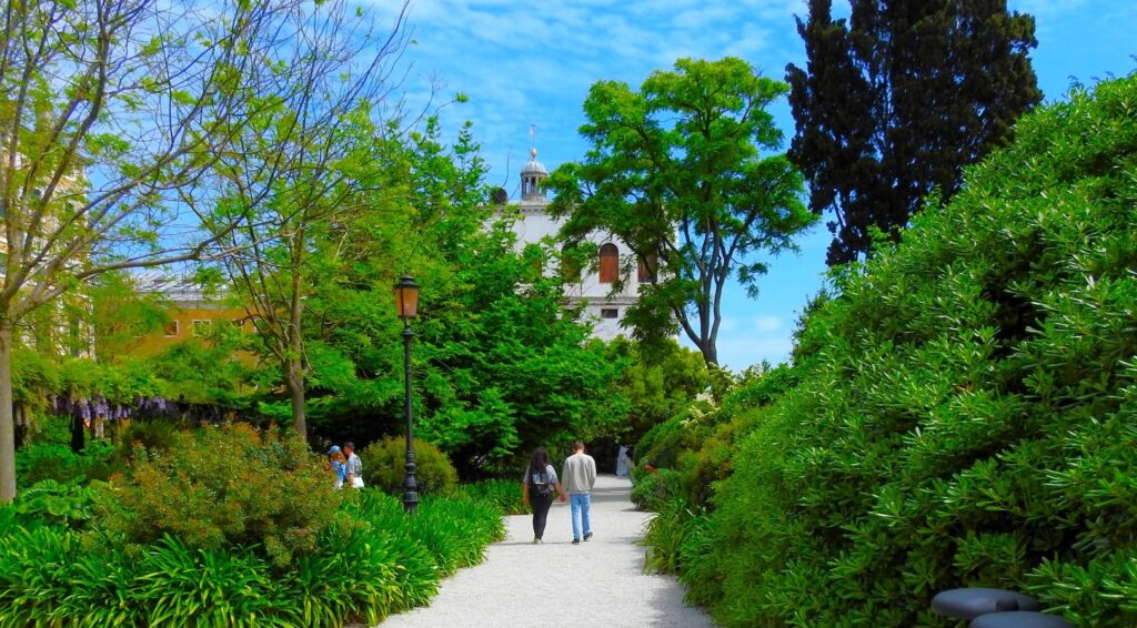
©2026 John Wanserski for Creative Juice LLC
Tripadvisor review of the Royal Gardens of Venice
Venice, Italy (Wikipedia entry)
Weather forecast for the Venice, Italy area
Blog entries for the Royal Gardens of Venice
-
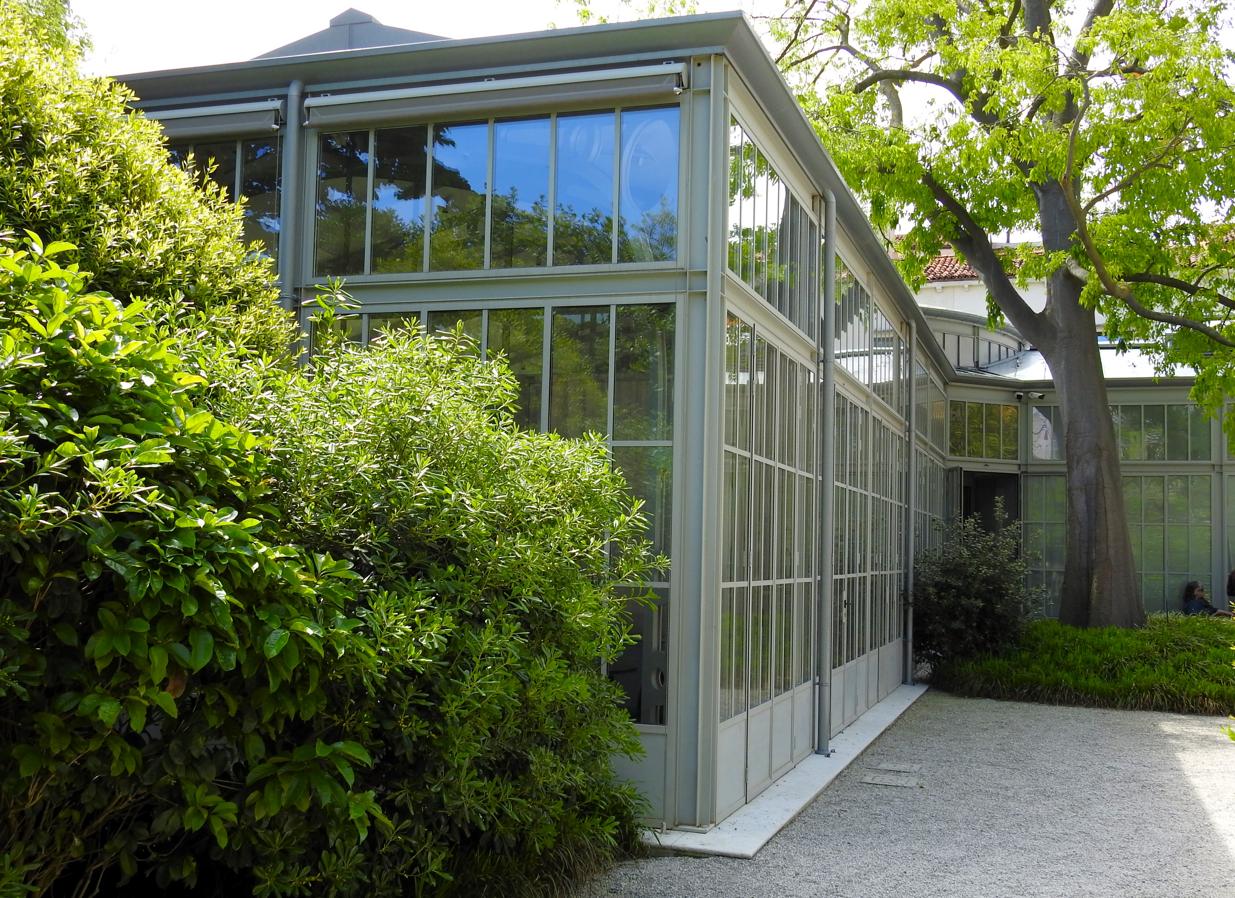
Outside the Illy Cafe, Royal Gardens of Venice – Venice, Italy

©2026 John Wanserski for Creative Juice LLC
Tripadvisor review of the Royal Gardens of Venice
Venice, Italy (Wikipedia entry)
Weather forecast for the Venice, Italy area
Blog entries for the Royal Gardens of Venice
-
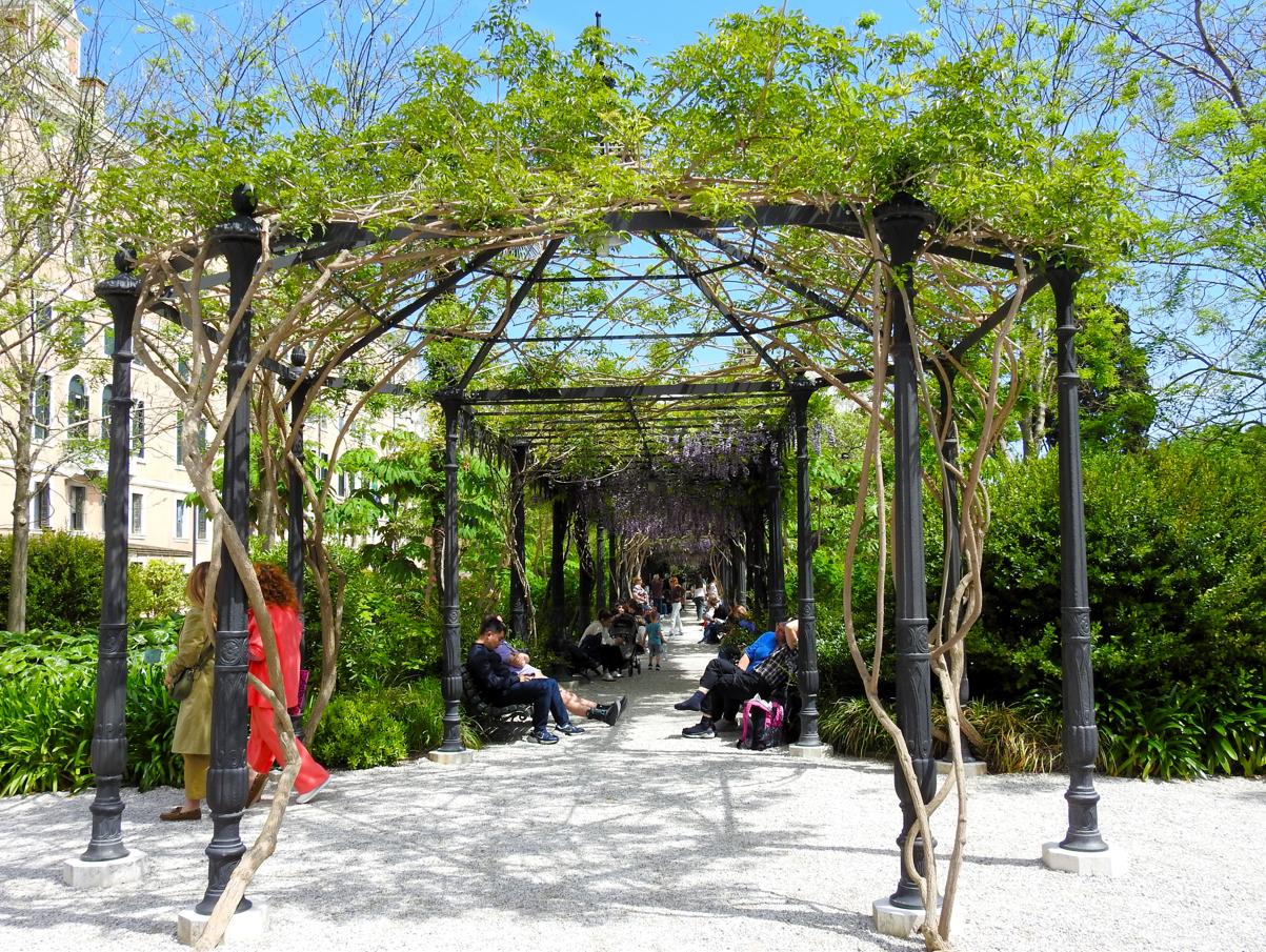
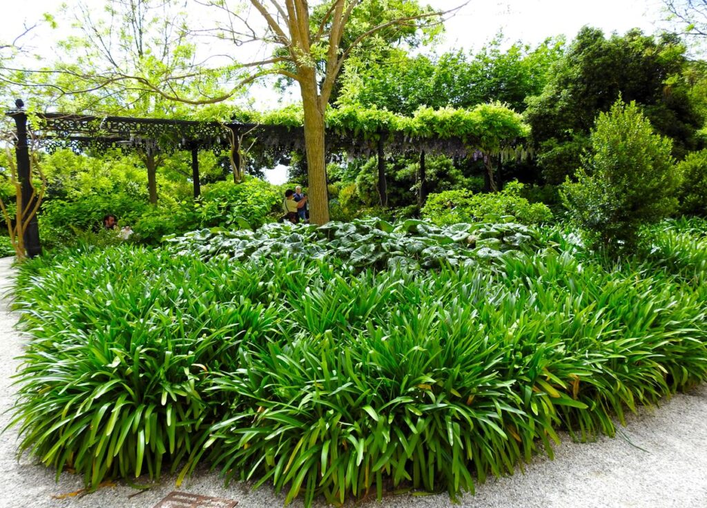
Arbor in the Garden, Royal Gardens of Venice – Venice, Italy

©2026 John Wanserski for Creative Juice LLC
Tripadvisor review of the Royal Gardens of Venice
Venice, Italy (Wikipedia entry)
Weather forecast for the Venice, Italy area
Blog entries for the Royal Gardens of Venice
-
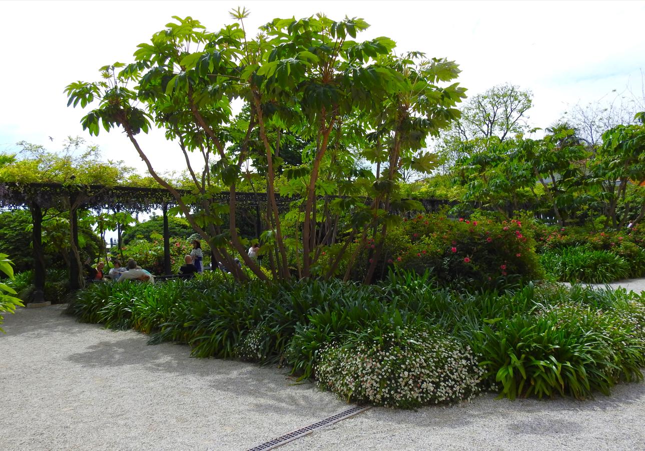
Arbor in the Foliage, Royal Gardens of Venice – Venice, Italy

©2026 John Wanserski for Creative Juice LLC
Tripadvisor review of the Royal Gardens of Venice
Venice, Italy (Wikipedia entry)
Weather forecast for the Venice, Italy area
Blog entries for the Royal Gardens of Venice
-
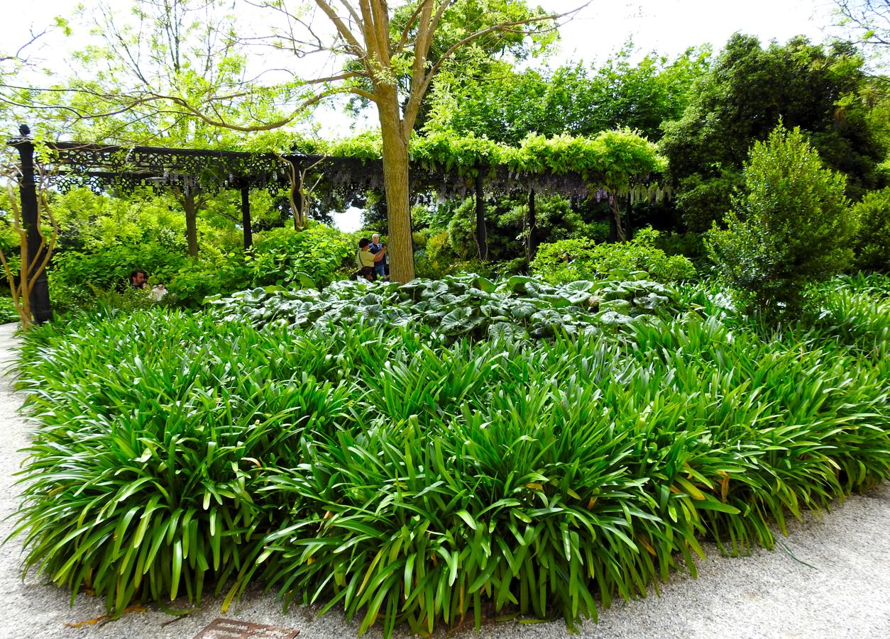
Foliage Surrounds the Arbor, Royal Gardens of Venice – Venice, Italy
©2026 John Wanserski for Creative Juice LLC
Tripadvisor review of the Royal Gardens of Venice
Venice, Italy (Wikipedia entry)
Weather forecast for the Venice, Italy area
Blog entries for the Royal Gardens of Venice
-
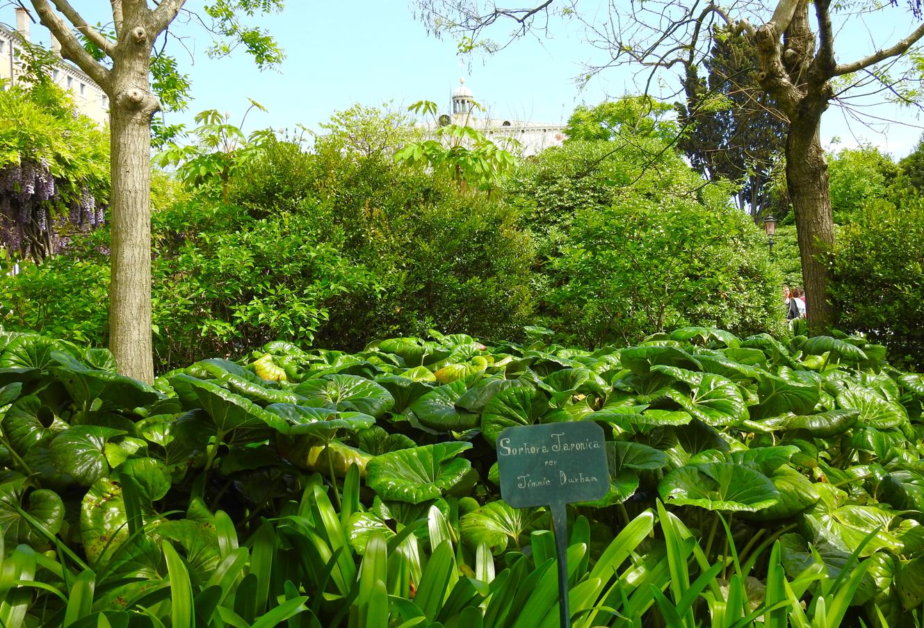
Foliage Under Two Japanese Pagoda Trees, Royal Gardens of Venice – Venice, Italy

©2026 John Wanserski for Creative Juice LLC
Tripadvisor review of the Royal Gardens of Venice
Venice, Italy (Wikipedia entry)
Weather forecast for the Venice, Italy area
Blog entries for the Royal Gardens of Venice
-
Deciduous Trees Leafing Out, Royal Gardens of Venice – Venice, Italy
©2026 John Wanserski for Creative Juice LLC
Tripadvisor review of the Royal Gardens of Venice
Venice, Italy (Wikipedia entry)
Weather forecast for the Venice, Italy area
Blog entries for the Royal Gardens of Venice
-
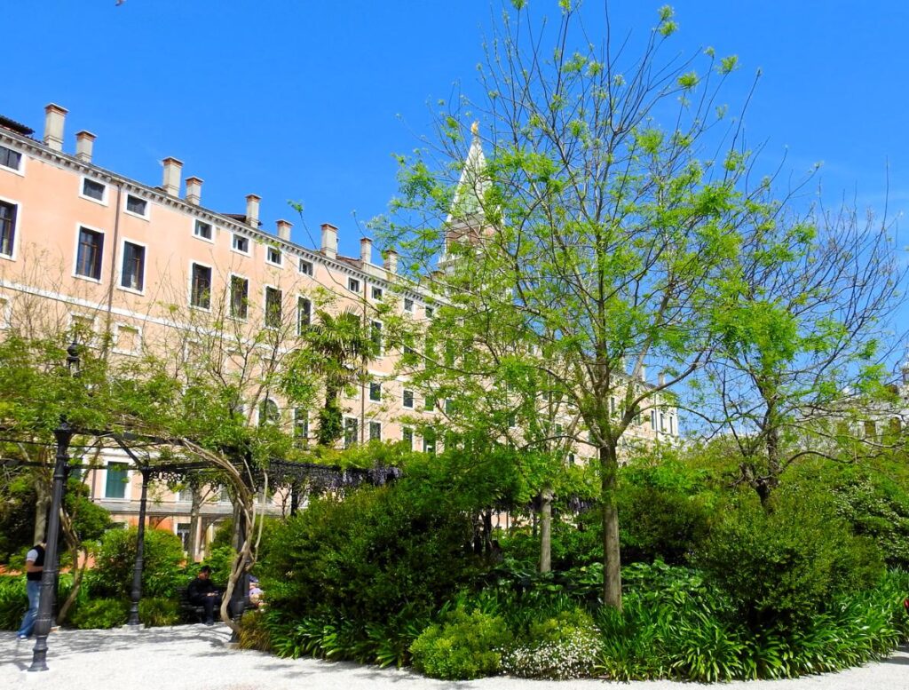
Large Evergreen Tree, Royal Gardens of Venice – Venice, Italy

©2026 John Wanserski for Creative Juice LLC
Tripadvisor review of the Royal Gardens of Venice
Venice, Italy (Wikipedia entry)
Weather forecast for the Venice, Italy area
Blog entries for the Royal Gardens of Venice